From Above: Sri Lanka as the Birds See It
Seeing the Pattern
From the ground, Sri Lanka is a sequence of moments — a temple here, a beach there, a mountain pass in between. From above, the island reveals its deeper logic: the way rivers radiate from the central highlands like the spokes of a wheel, the way ancient irrigation tanks form chains across the dry zone, the way the coastline curves in fractals from cape to cape.
We chartered a light aircraft from Colombo's Ratmalana Airport — a 1960s Cessna that smelled of aviation fuel and adventure. As we climbed above the western coast, the transformation was immediate.
The Geometry of Rice
Sri Lanka's rice paddies, viewed from altitude, are a masterclass in hydraulic engineering. The ancient kings who designed the island's irrigation system — a network of reservoirs, channels, and cascades that has functioned continuously for over 2,000 years — were thinking in patterns that only become visible from the air.
Near Polonnaruwa, the Parakrama Samudra — a reservoir so vast it was called "the sea of King Parakramabahu" — stretches to the horizon like an inland ocean. From above, you can trace the network of channels that distribute its water across thousands of hectares of farmland.
The Forest Canopy
The Sinharaja rainforest, Sri Lanka's last significant lowland rainforest, appears from the air as an unbroken carpet of green — darker than the surrounding plantations, textured with the crowns of ancient trees. No roads penetrate it. No clearings interrupt it. It sits on the island like a memory of what everything once was.
"From up here, you understand that the island is small. And you understand that small does not mean simple." — Captain Ranasinghe, Charter Pilot
What You See
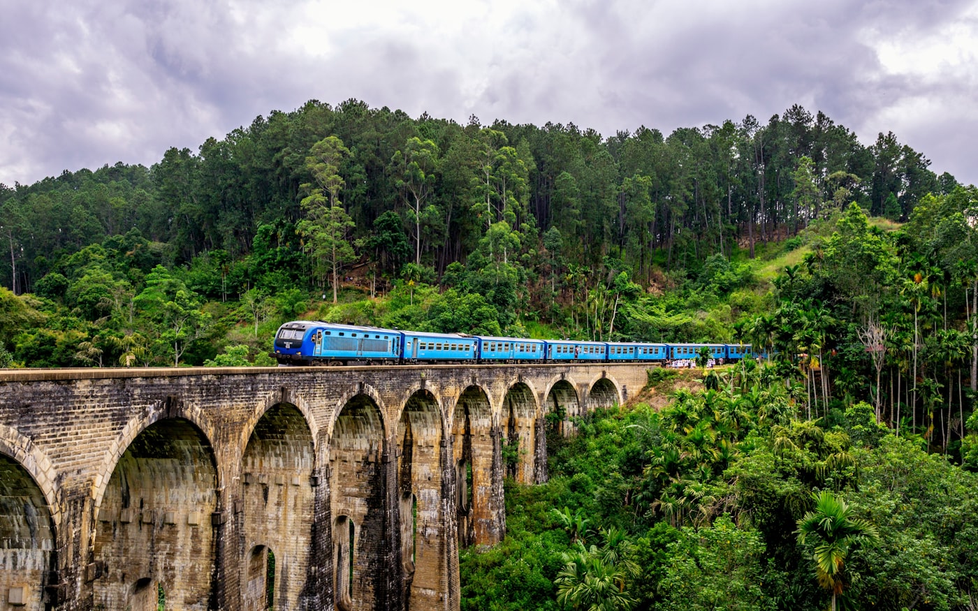
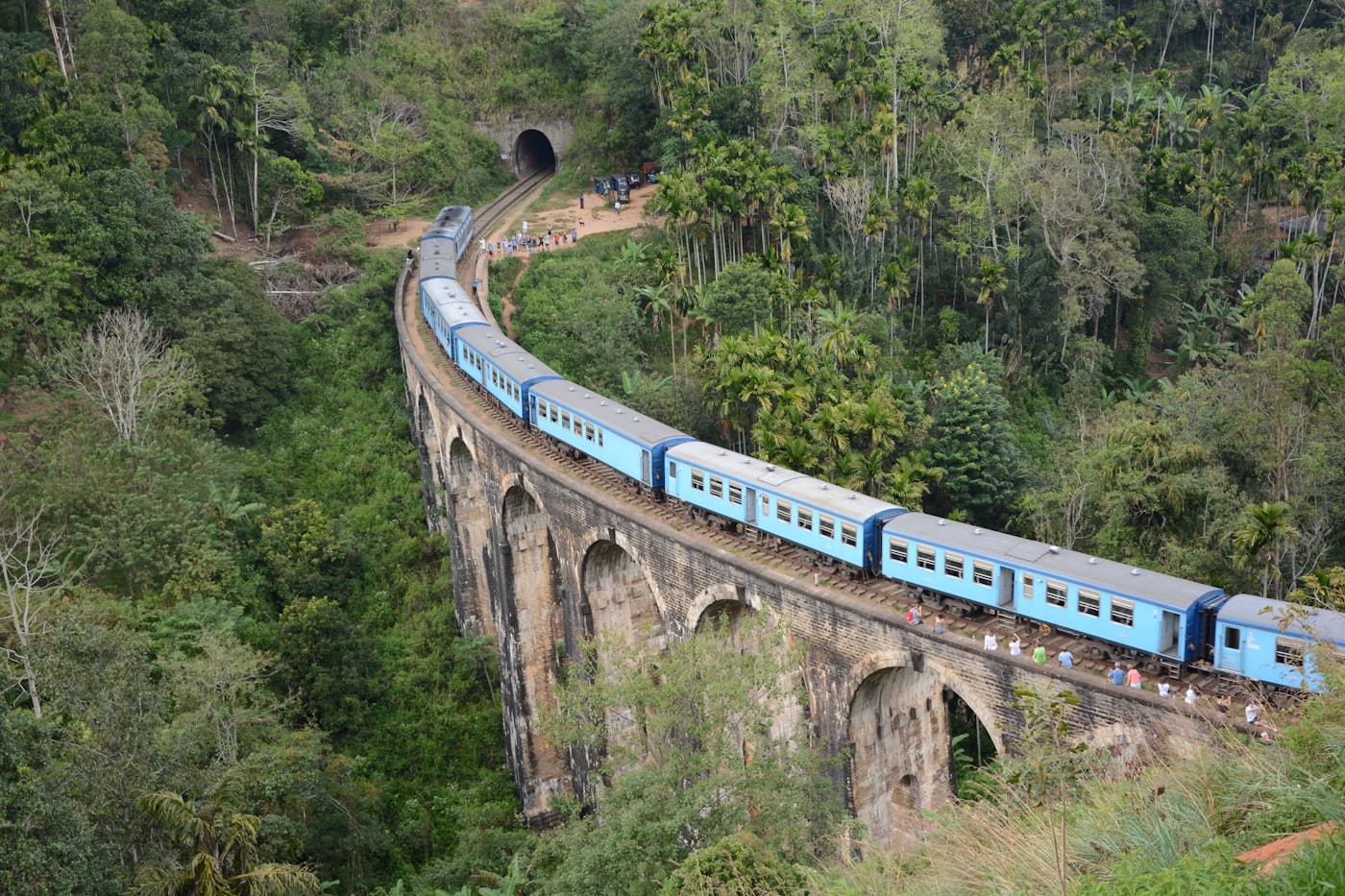
- The central highlands: A crumpled mass of green rising abruptly from the plains
- Ancient cities: The geometric layouts of Anuradhapura and Polonnaruwa are only fully visible from the air
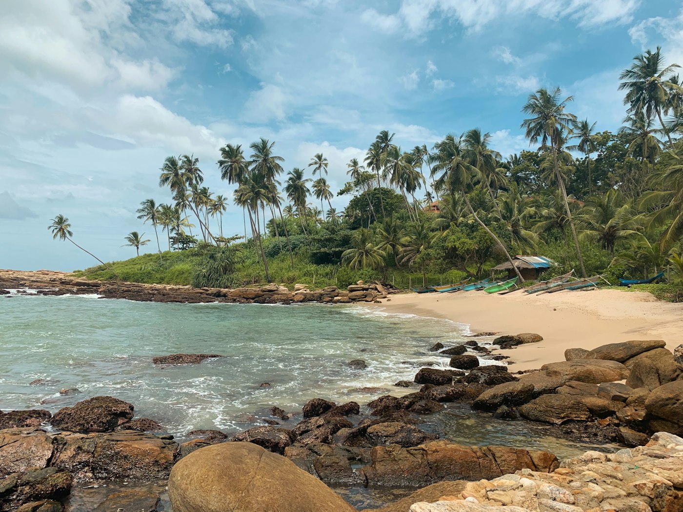
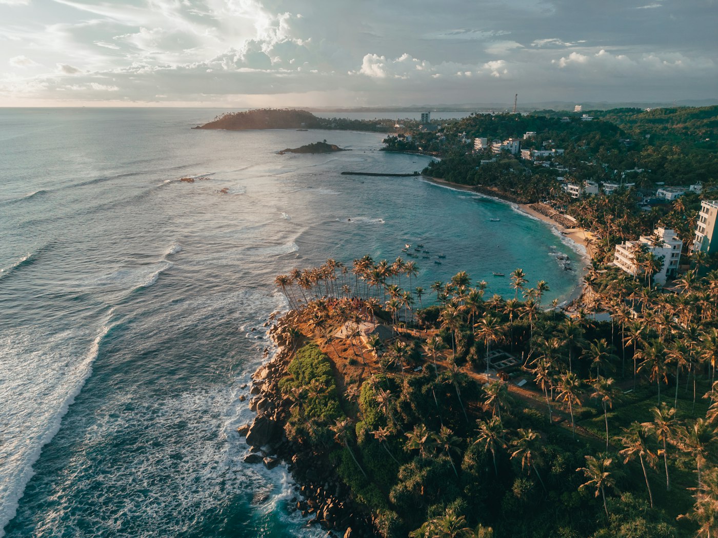
- The coast: An endless alternation of headland and bay, fringed with coconut palms
- The people: Even from altitude, you see the density of life — every patch of flat ground cultivated, every hillside terraced